Ride Report

Lost Coast Motorcycle Tour in NorCal: Day 1

I didn’t even get the best part of day 1’s adventurous, partially-dirt motorcycle ride on the GoPro, as I thought it would just be a kind of potholed beat up farm road leading to the main destinations of the day, Mattole Beach and the King’s Peak Conservation Area. The GoPros weren’t mounted yet, I’d have to stop the group to do so, and we only got moving for a long day around 0930, so I wanted to keep us moving. My loss! After consulting with my mechanically talented Bay Area friend who was riding sweep for me, Carter, we picked just a road on the map to get us off highway 101 on the way to Mattole Beach, and it turned out to look like an absolute fairy tale. We rode epic flowy two track on meadowed mountain peaks above the clouds- it felt like Scotland! And that’s not even one of the popular trails people write about when they tour the Lost Coast.

A group of motorcycles descends a steep grade towards a brilliant blue Pacific Ocean A group of motorcycles rides a winding road surrounded by fields and hills

I also, tragically, missed GoPro-ing the insane view on some very steep switchbacks leading down from the farm land to where Mattole Beach is, but luckily Carter keeps his phone on his bars and got a good shot of the group heading down. Lessons learned for the next tour! Mattole Beach is the northern end of the Lost Coast hiking trail, which I would also like to do some day. The upper portion of the Lost Coast hiking trail goes 24.4 miles from Mattole Beach to Black Sands beach, where you hike along the beach a lot, somewhere that no roads access because it is “lost”- CALTRANS deemed the area too difficult to construct paved roads in. The lower portion of the Lost Coast hiking trail continues another 28 miles to Usal beach- another destination on this tour. There is a campground at Mattole Beach, although I imagine most days right on the shore here would be foggy and windy, and I don’t love having a wet tent or trying to cook in rain or heavy wind. We did some relaxing on the driftwood at Mattole Beach which was perfectly shaped to lay back!

A motorcycle rider sits on a piece of driftwood on Mattole Beach in Northern California A motorcycle rider reclines on a piece of driftwood at Mattole Beach, Northern California

After Mattole Beach, we took a VERY windy paved road inland to a small market in Honeydew that has the only gas around. Most of us were on BMW GS’s, so we could have accomplished each day’s ride on a tank of gas, but we did have a KTM 500 EXC-F dual sport with us with a much more limited range. Even the paved roads in these mountains are so windy that 150-200 miles can be a full 10-12 hour day, because you are limited to around 20 mph in some of those turns.

From Honeydew we embarked on the dirt road that zigzags along the ridge of the King’s Peak range. The northern part involves some hellaciously steep switchbacks with loose stuff in the 180 degree turns, which I didn’t enjoy, but the southern part is great riding and has some dispersed camping along the way.

From King’s Peak it was time to wind our way back to the campground, where I would cook for the group. We got back late thanks to our late start and slow speed on these very tight roads. Tomorrow would be the famous Usal road!

Lost Coast Tour in NorCal: Day 0

I had never even heard of the Lost Coast before a client of mine from previous motorcycle tours said he was going to camp in the Redwoods, and could I come up and guide him? Before two summers ago, I didn’t even have a good idea of where Napa Valley was- I thought it was southeast of San Francisco for some reason. I am thoroughly a SoCal girl, and my main experience with NorCal is visiting the Bay Area, an internship at the Naval Research Lab in Monterey, snowboarding in Lake Tahoe, or doing a Fleet Week in Reno once, specifically so I could rent a motorcycle and hike in the mountains near Lake Tahoe for a few days while there. My good friend from San Diego was promoted to manage an RV park one valley over from Napa, and I visited her driving back from my friend’s wedding in Bend, Oregon, last year. That’s when I learned where Napa was, and the drive through the mountains to get to her location and the Redwoods hikes we did while I visited were just stunning! I wanted to go back and explore more, and I could tell the twisty roads would be just incredible on a motorcycle.

When the NorCal BDR media hype started, but before the GPS tracks had been released, I had this idea in my head that it would be in that area- wine country, the redwoods, and the rugged coast north of San Francisco. I was on a few Facebook groups for the NorCal BDR and rounded up some people who were interested in a Lost Coast tour along with the prior client of mine. As a sidenote, the NorCal BDR turned out to be in the Sierras, so not where I was thinking at all. Edge of Adventure Tours fully intends to run a NorCal BDR tour or two up there at some point in the future.

I had some help in planning this Lost Coast tour since I hadn’t been there before, minus the trip to my friend’s RV park. One of my tour guests had ridden around that area a few times, and my friend Carter lives in San Mateo and has ridden to that area quite a bit, as it’s only a few hours away for him. Carter was in the Navy with one of my Navy coworkers and good friends from a particularly challenging tour, and it turns out we all ride BMW GS’s and live in California now, so we’ve gotten together for some fun adventure rides and pushing the limits of our big bikes! Having a friend along on a ride as backup to fix things or help pick up the big bike if it gets wedged at a weird angle is a big confidence booster. Plus, I excel at doing research- that’s how I got this gig in the first place! I use Youtube videos, other people’s blog posts, GPS mapping apps like Gaia and OnX Offroad, and Butler Maps, which has recommended roads and trails along with details like difficulty and terrain type. Butler Maps has map series for many different regions that are appealing for motorcycles across the US, and in regions where I’ve lived and explored a lot and already set my tour routes, I find them to confirm all the good trails that I’ve found! I have an affiliate link for Butler Maps that gives you a 10% discount, here: caitlinadvg1

When you search for things like rental motorcycles, hotels, or gas stations up there, you quickly discover why it’s called the Lost Coast! It is a fairly remote area several hours up the 101 from the nearest big airport, Santa Rosa (or 1-2 hours south of a smaller airport in Eureka/Arcata that only connects to San Francisco or Los Angeles). Some other tour outfits may run a few tours in that region a year, but the rental motorcycles they use come from Sacramento, which is another 250 hot miles or so to ride just to get to the redwoods. It is not a highly developed area in general, with the big industries being fishing, logging, weed farms, or Cal Poly Humboldt University. Small hamlets dot the forest, which may or may not have gas or a small market for refreshments on stops. Dirt roads deemed too rugged to develop snake their way along the coast and through the forest- even U.S. highway one, the famous Pacific Coast Highway, dodges inland in this area. I was happy to trailer the bikes up for this tour and combine my trip with a visit to my friend who lived in wine country, since there wasn’t a convenient way to fly in, rent a car, and visit her anyway. Once I got through the very hot Central Valley, highway 101 north of Santa Rosa becomes windy and scenic, crossing over rivers and gravel bars, twisting along steep cliffs and mountains. I brought my puppy for the drive and we hiked at a beautiful reservoir in Sonoma County on our way up as well. Then I dropped her off at a kennel where she could play with other puppies while I went riding.

The Russian River in Sonoma County, CA, north of the Bay Area on highway 101Small merle-colored corgi mix stands on a trail with a lake and golden hills mixed with scrub oak in the background in Sonoma County, CA

One of the guests and I hit Orr Hot Springs on the way up. It is down a very twisty road in the mountains, and a natural hot spring that they have channeled into a series of pools and tubs. It is also clothing optional… but I definitely kept my clothes on! It was good to relax after 2 days of driving and loading bikes on the trailer.

I had watched videos and looked at many pictures to determine my routes, but I still wasn’t prepared for the raw beauty of the Lost Coast once the tour began!

Southern California Motorcycle Tour Day 4

I guided one of the days for Bill and Roger on their 5 day Southern California adventure motorcycle tour because I knew this particular area best. Years ago, my motorcycle lived in Orange County even though I did not, and this was the closest riding area, so I hit it often and know which trails are adventure motorcycle friendly. When I was active duty in the U.S. Navy and stationed in Hawaii, I got sick of the Hawaii mud after a particularly terrible day where I must have dropped my 2017 Honda CRF250L- my first motorcycle that I learned on- 30 times, cracked the gas tank gasket while deep in the rainforest, and barely made it out. The Honda is a heavier bike than the high performance dual sports, but cheaper, and has longer maintenance intervals. I had done extensive modifications to lighten that bike up and add some power, but it was still 300 lbs, which I got to deadlift 30 times that day. After that experience, I vowed “no more mud!” and shipped my bike to the mainland to keep my dual sport in my grandpa’s garage in Newport Beach, CA. I used to ride it, engine screaming at 64 mph, tailbag and saddlebags full of my stuff, all over Southern California, to Superstition OHV area or San Diego to meet my friends, or to Big Bear for all the amazing offroad and hiking there. The joke was on me, because later in my career, the Navy shipped me to Mississippi- plenty of mud there! 

Anyway, germane to this story, the area of Orange County where I took Bill and Roger was basically the closest interesting riding to my grandpa’s house. There are offroad trails there in the Santa Ana mountains, although some can be rocky or very rutted and better suited for dual sport motorcycles. There is also the renowned twisty Ortega Highway (highway 74), which sportbikers in particular like to zoom through. Ortega Highway connects Orange County and Riverside County, and spits out near Temecula (Southern California Wine Country), where you can ride more windy backroads through orchards and vineyards. There are even creeks tumbling through those scenic hills.

I took Bill and Roger up the coast, through Mission and Pacific Beach, stopping at the Torrey Pines Gliderport for its fantastic ocean view. We continued up Pacific Coast Highway until it runs into Camp Pendleton and dumps you onto I-5 North. The interstate stretch is worth it when you turn onto Ortega Highway and its many fast, sweeper turns through the mountains. We took North Main Divide road up for a few miles to a stunning viewpoint where the mountains drop off below you and you can see Lake Elsinore and across the valley to Mount San Jacinto and Mount San Gorgonio. Then we rode the switchbacks down into Lake Elsinore and turned south into vineyard and orchard country near Fallbrook, where there are more winding roads and even some mellow offroad. I avoided I-15 for a while with a series of picturesque canyon roads running north-south through bucolic agricultural areas, before you are forced to accept the freeway ride in traffic the rest of the way home. Lane-splitting- that’s a real Southern California motorcycle riding experience right there!

Ride Report

Southern California Motorcycle Tour: Day 3

Once our guests felt comfortable on their bikes, the second day was a long one, but showcased all the beauty and geographic diversity that Southern California has to offer.

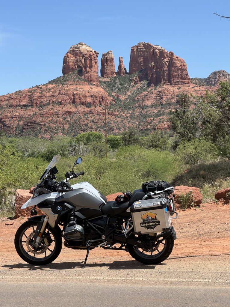
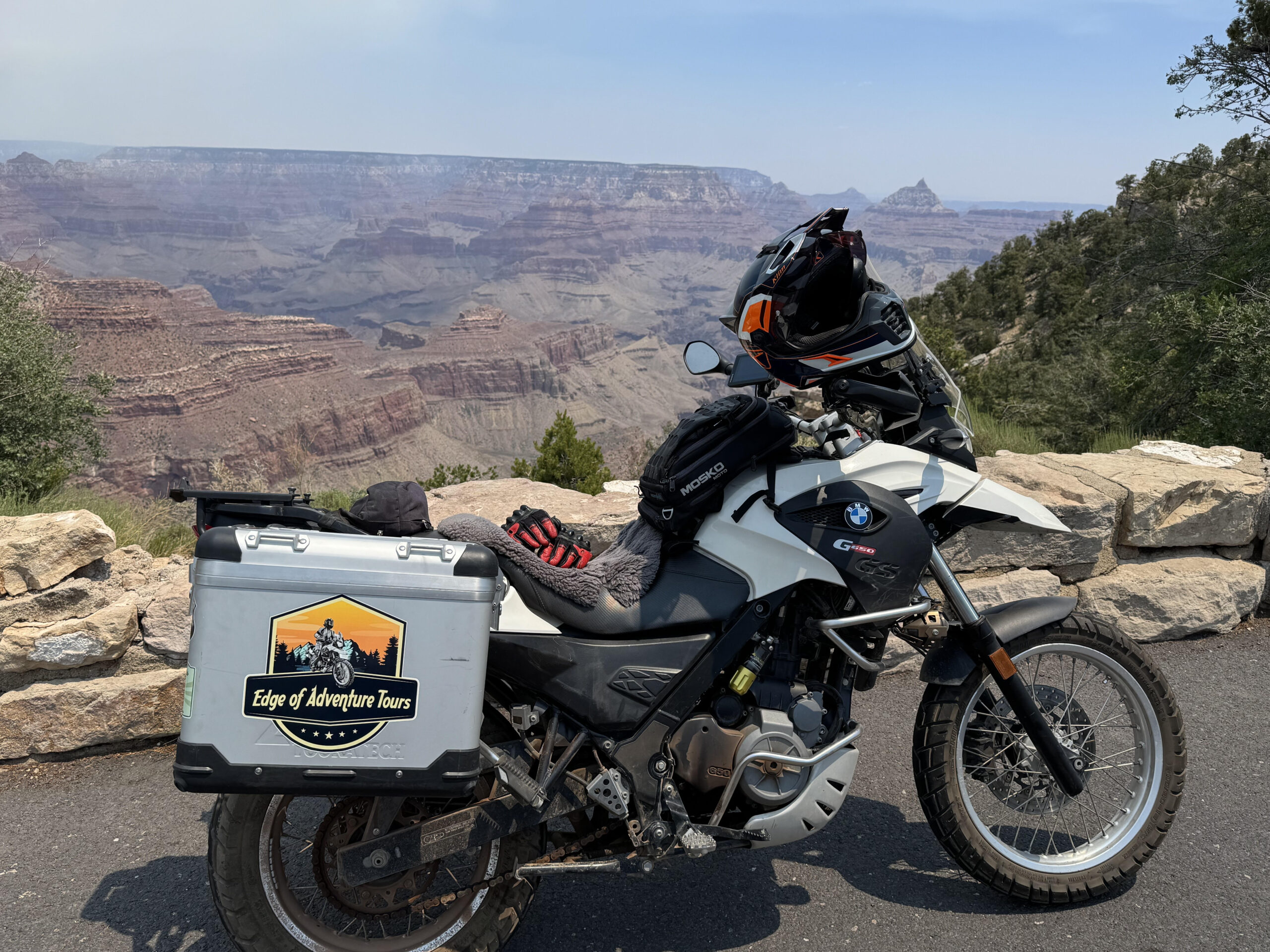
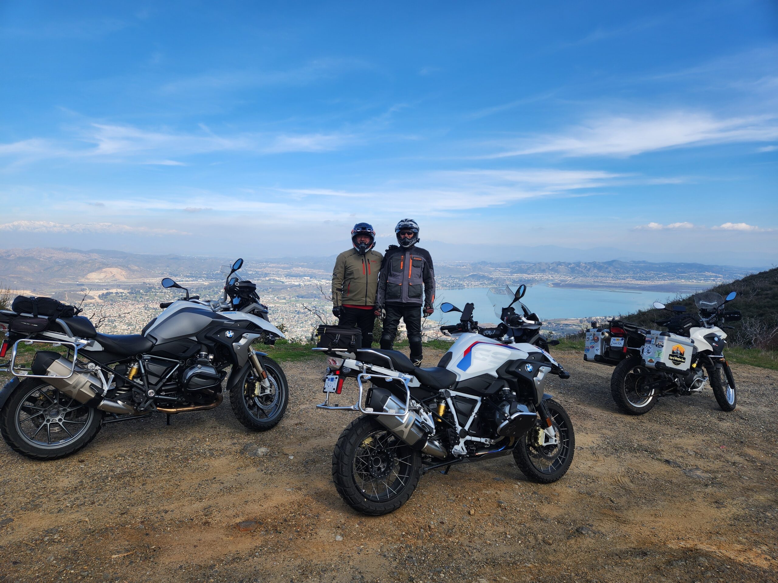
Dave also led the group to the mountain town of Julian, well known in Southern California for its apple pie, cider, and actual seasons compared to the coast. The Pacific Crest Trail goes near here, and thru-hikers like to stop in the town for refreshment as well. The roads to Julian are twisty and very popular among motorcycle riders in Southern California. I do this loop almost weekly on my own, either on my 2015 BMW G650GS or on the 2018 BMW 1200GS, just for fun- and for pie at the end! Along the way, near Lake Cuyamaca, they encountered snow drifts several feet high that had been plowed off the road from last week’s storm. Cuyamaca Rancho State Park is home to San Diego County’s second tallest mountain, so it makes sense that the area received a lot of snow the previous week.

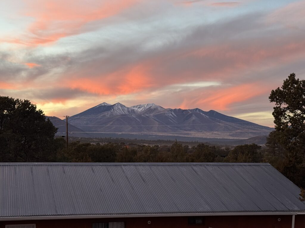
Because of the snow, they skipped a fun gravel road that twists through the hills and goes by Three Sisters Falls before letting out near Lake Cuyamaca, and has spectacular views of Cuyamaca Peak and many other SoCal mountains. Given a few more days, I’m sure that snow would have melted and the path would be clear! Because of the snow, the group also skipped Palomar Mountain, which reaches taller than 5000 ft and can get snow during those cold winter storms. Palomar Mountain is a favorite of motorcycle riders and sports car drivers in Southern California for its twisty road with hairpin turns that steeply ascends a mountainside, vaulting the drivers into cool mountain air in no time! However, those sharp turns are no place to encounter ice in the shade. There are dirt ways up the mountain as well if you’re feeling adventurous. There is an astronomical observatory on top of the mountain that can be seen for many miles around, and it also has many hiking trails in pine forests.

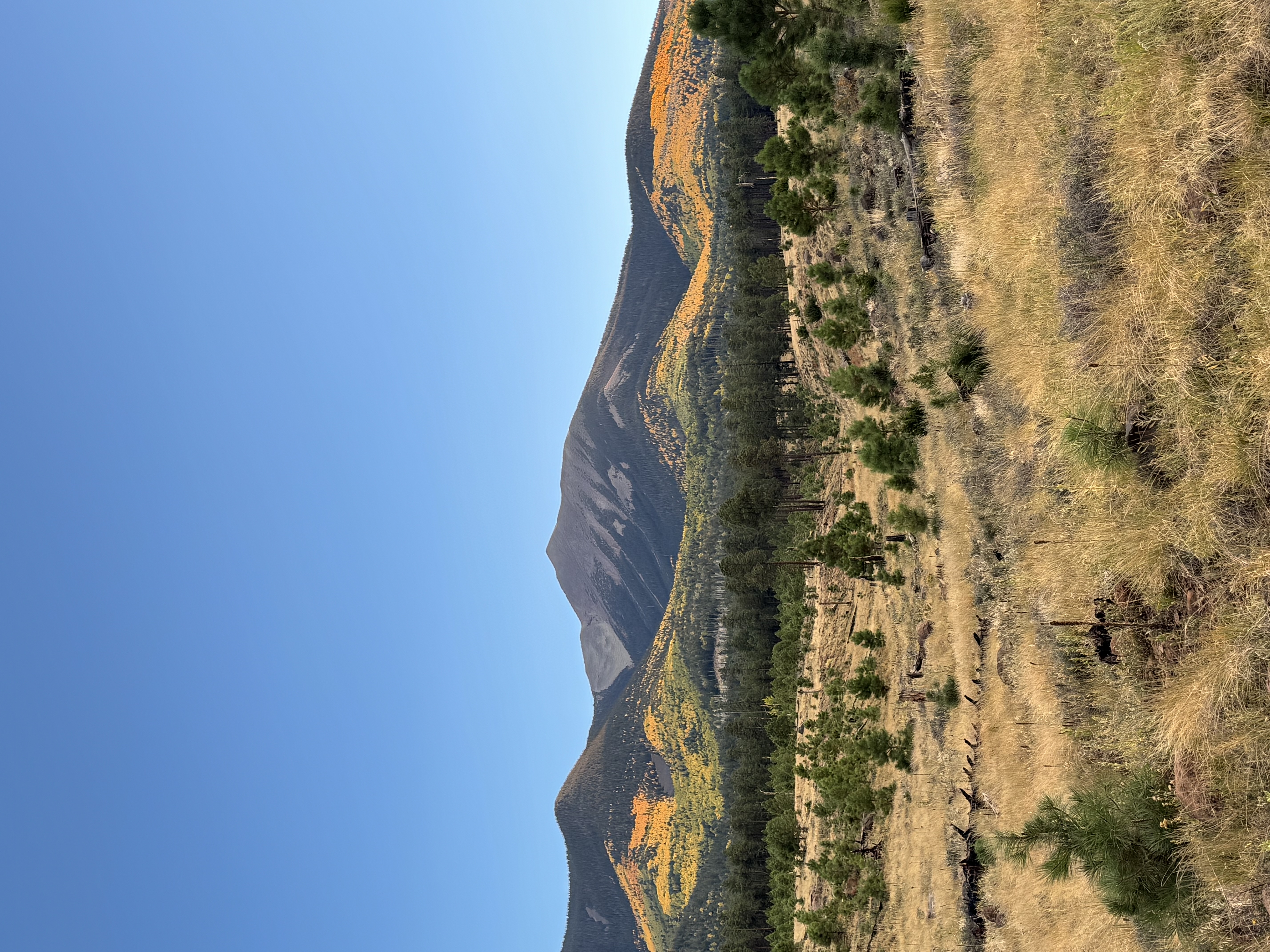
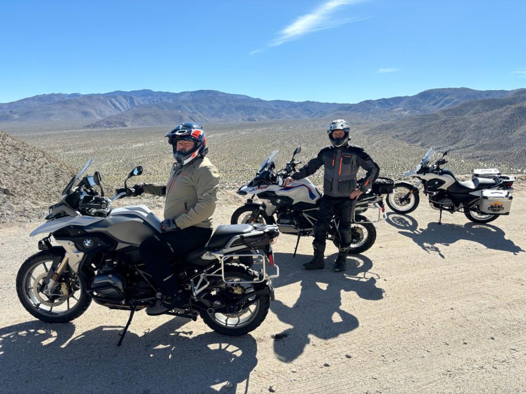
From Julian, they proceeded down Banner Grade into Anza Borrego Desert State Park. Anza Borrego isn’t just a barren desert like you might imagine, like what I-10 and I-8 go through to get to Arizona. It features mountains over 5000 ft tall that get snow in the winter with gnarled pines clinging to life on their summits, canyons carved into the sandstone by flash floods, mud caves that you can explore, and oases of palm trees with streams spilling out of them that nourish bighorn sheep, coyotes, deer, mountain lions, and other animals. We absolutely love traversing Anza Borrego Desert State Park from fall-spring, whether we’re hiking, offroading our 4×4 trucks, camping, or riding motorcycles.

Edge of Adventure Tours also runs desert offroad truck tours in Anza Borrego, leaving from San Diego and including hotel pickup, for visitors or locals to San Diego who may not have a 4×4 vehicle but want to explore the desert. This is a great option to bring the family to explore the area- no experience necessary and family friendly, customized to what you want to see or do.

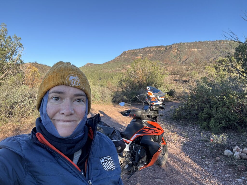
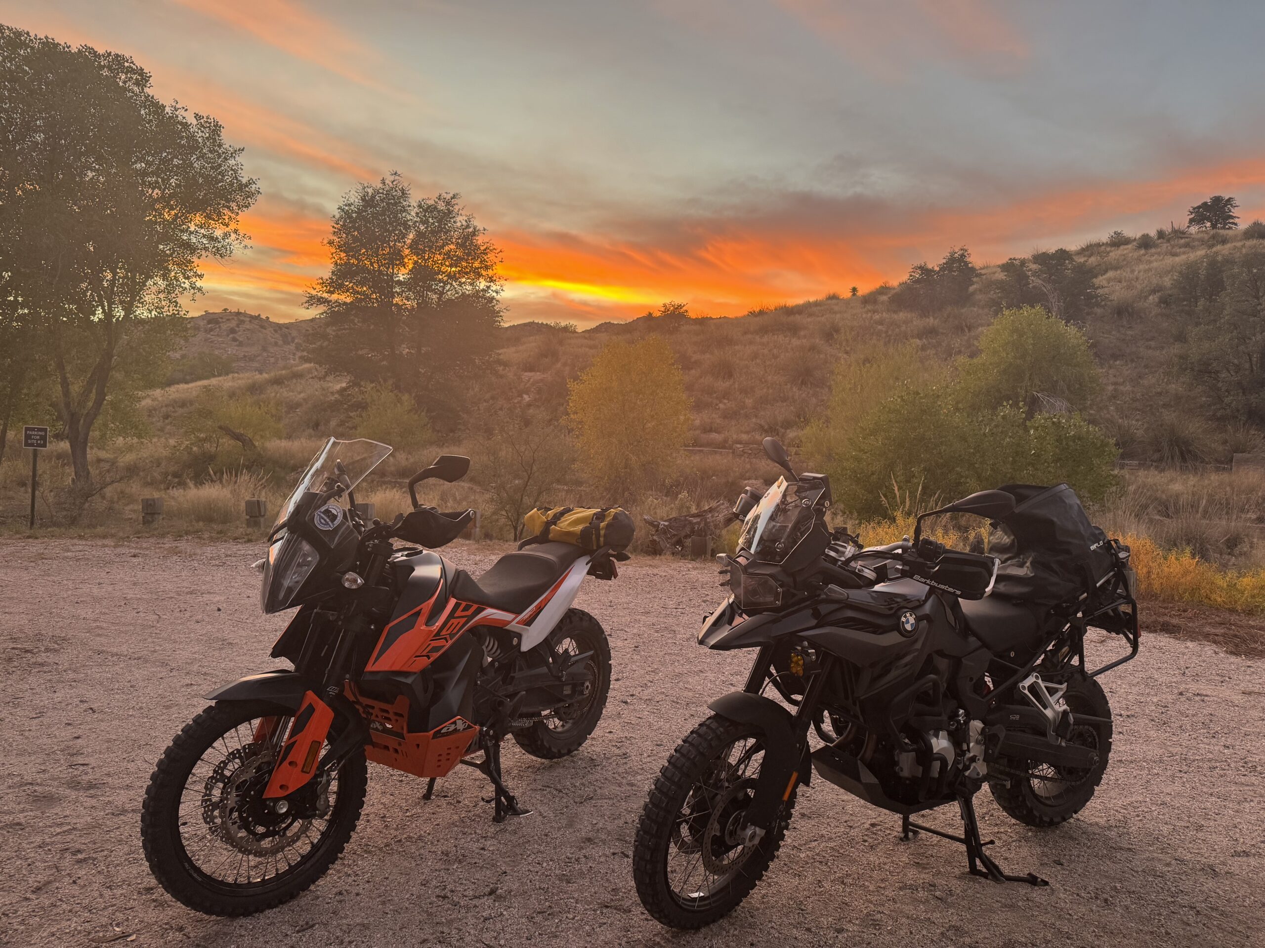
The offroad trails in Anza Borrego get sandy quickly, and are best suited to dual sport motorcycles like my 2019 KTM 350 EXC-F (not available for rent- you probably wouldn’t like it anyway, as it’s lowered several inches), but the paved roads are still so twisty and enjoyable. The group rode S-2 and several other windy routes that parallel creek beds and twist their way up mountainsides to stunning drop-offs, which conveniently have pullouts so you can stop and take pictures of the landscape stretching away from you.

After ascending back into the mountains from Borrego Springs, they visited Montezuma Valley Market, a veteran owned small business that is owned and operated by a longtime friend of Dave’s from the Navy. This market is the only general store around for quite a distance in Ranchita, CA. It is a favorite of PCT thru-hikers, who can stay there in some of the hostel-like lodging, or resupply their camping gear and food. We always bring our riders by for a cold beer, hot coffee, or snacks, and to enjoy their beer garden atmosphere. Adventurers from all around enjoy the large iconic Yeti statue.

From Ranchita, it’s still a long ways back to San Diego, but windy and enjoyable the whole way, especially once you’re fueled up with some food and coffee.

Southern California Motorcycle Tour Days 1-2

Our adventure motorcycle tour guests for this Southern California tour flew in from Connecticut, looking to escape the cold winter weather in February, and coastal South Carolina, which I gather is warmer but flat and boring for motorcycle riding. Unlike most of the country, in Southern California it is nice enough to ride motorcycles year round! We get particularly busy in the winter and around Spring Break as people look to escape the winter doldrums in most of the country, where their motorcycles are probably sad and stuck in the garage on a battery tender. My Connecticut guest, Bill, rode the 2022 BMW 1250GS Rallye, and my South Carolina guest, Roger, rode the 2018 BMW 1200GS. Both of my BMW R1200/1250GS boxer engine rentals are the premium package- BMW’s flagship adventure motorcycles trusted by round the world travelers with premium features like cruise control, Electronic Suspension Adjustment (I’m 5’5″ and even I can ride the 1200GS), GearShift Assist Pro, ride modes for different terrain and weather, and Hill Start Assist.

My mechanic and guide for the longer tours, Dave, was able to join as I had some other obligations to attend to over this 5 day tour, and the bikes were due for their periodic maintenance afterwards anyway. Dave took our guests through the canyon country that starts just 15 minutes from the Edge of Adventure Tours garage, starting the incredible riding and scenery right off the bat! A record-setting rainstorm had swept through the area a week before, when I had some intrepid renters who flew in anyway despite the forecast and got very wet. I spent most of that week keeping in contact with my renters, monitoring weather radar, webcams, the CalTrans website which shows chain restrictions, road closures, and snowplow operations, and getting updates from my friends who live in the mountains about where it was snowing and where it was safe for my renters to ride their motorcycles. Bikes and ice don’t mix. I was trained as a professional meteorologist for the U.S. Navy, so my forecasting skills come in handy when planning and leading tours! Luckily, this week the forecast was perfect- sunny and in the 60’s!  

As a side note, Dave’s 31 years of U.S. Navy experience trained him to fix anything and everything under the sun, which is arguably a more useful skillset. But I like to think I have the best forecasts in the business, as there can’t be too many motorcycle tour company owner/meteorologists out there.

The group ventured into the Otay Mountain Wilderness Area, only 30 minutes from San Diego, which features a network of dirt roads and trails of varying difficulty. An adventure-motorcycle friendly truck trail runs to the top of Otay Mountain, from which there are spectacular views of the ocean, downtown San Diego, and other mountains stretching north and east. Other trails around Otay Mountain require a lighter dual sport motorcycle or a high-clearance 4×4 vehicle. Edge of Adventure Tours also runs half-day 4×4 offroad truck tours so your non-motorcycle-riding passengers can conquer the mountain’s trails and see that stunning view!

Each day’s motorcycle ride was approximately 150-250 miles, but because the roads are twisty and with meal and scenery stops, took from about 8 or 9 am to 5 or 6 pm. There are so many hidden gem windy backroads and dirt roads in San Diego County alone that you’d need multiple days to hit them all, as this group did!

Edge of Adventure Tours offers single and multi-day tours in the Southern California area (as well as the rest of California, Arizona, Southern Utah, and Southwestern Colorado), and roams outside of San Diego County as well on our multi-day tours. Our multi-day tours can go up Pacific Coast Highway into Orange County and ride the motorcyclist-favorite twisty Ortega Highway into wine country. Or, in the summer and fall, multi-day tours can ascend into the cool air of the mountains and visit quaint mountain towns like Idyllwild or Big Bear, where there are many offroad options in the pines, camping or cozy cabin options, and beautiful views! Southern California offers motorcycle riding options for year round fun, so contact us to plan your trip today. All our tours are custom dates for whenever you or your group are planning to visit San Diego, and custom routes too. We’ll monitor the weather and choose the best route for your desired ride length, destination, and any offroad difficulty level accordingly!